
Scan The Site. Show The Vision. Win The Bid.
The Lixel K2 handheld scanner turns a walk through any property into a millimeter-accurate 3D model in minutes — so your team measures faster, designs with confidence, and shows clients exactly what they’re getting before ground breaks.
The K2 In Action
Every Hour Measuring Is An Hour Not Designing
Tape measures, laser distance meters, and hand sketches don’t scale — and they don’t sell.
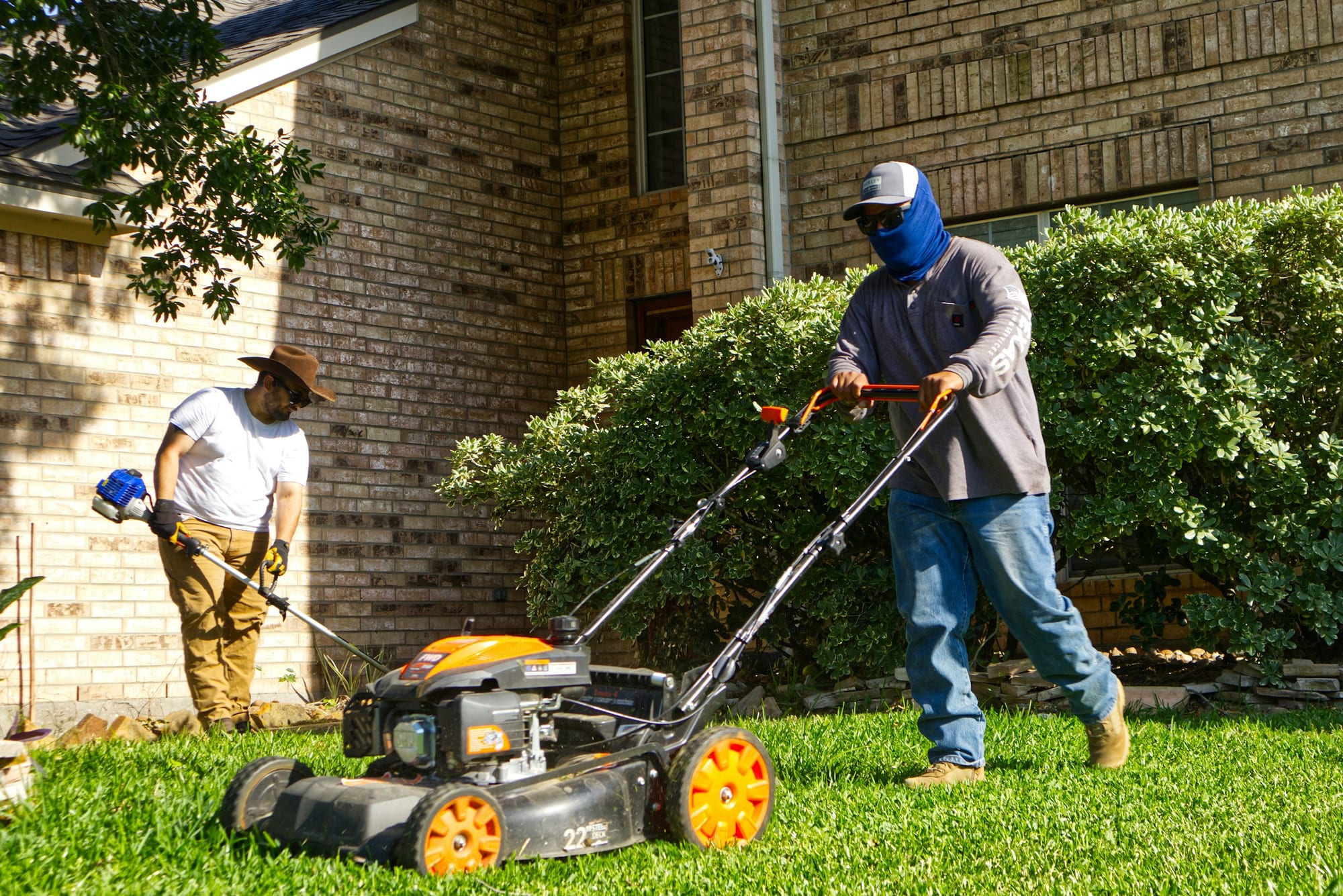
Tape Measures Don't Scale
Manually measuring grade changes, tree canopies, and hardscape footprints eats hours per site visit — and every missed dimension becomes rework later.
Clients Can't Picture the Plan
Hand sketches and flat renderings ask homeowners and property managers to imagine the finished install. Imagination loses bids.
Redesigns Cost Real Money
A missed drainage slope or utility line discovered mid-install means change orders, wasted material, and a client who no longer trusts the estimate.
From Walkthrough To Walk-Away Deliverable
One field pass. No tripod resets, no return trips for a missed measurement.
A Real Pivora Capture, Site To Presentation


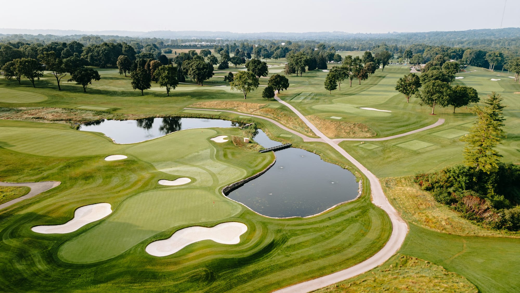
Example capture shown — the same hybrid pipeline works across residential yards, golf courses, and public green space.
Walk The Site
Capture the full property — beds, hardscape, canopy, and grade — in a single handheld pass.
Auto-Process
The point cloud and photorealistic 3DGS model generate automatically. No manual CAD redraw.
Present & Win
Walk the client through their own property in 3D and export accurate CAD-ready site data.
Explore A Real 3D Gaussian Splat
This is a live, navigable capture — the same kind of deliverable you hand a client. Click into the window, then use WASD or the arrow keys to walk through the space and your mouse to look around.

Meet The Lixel K2
A 100m-range SLAM LiDAR module, built-in RTK receiver, and triple-camera colorization system — packed into a 1.2kg handheld body built for a full day in the field.
0cm
Accuracy (RMSE)
0m
Max Scan Range
0cm
RTK Absolute Accuracy
1.2kg
Total Weight
Solutions For Every Green Space
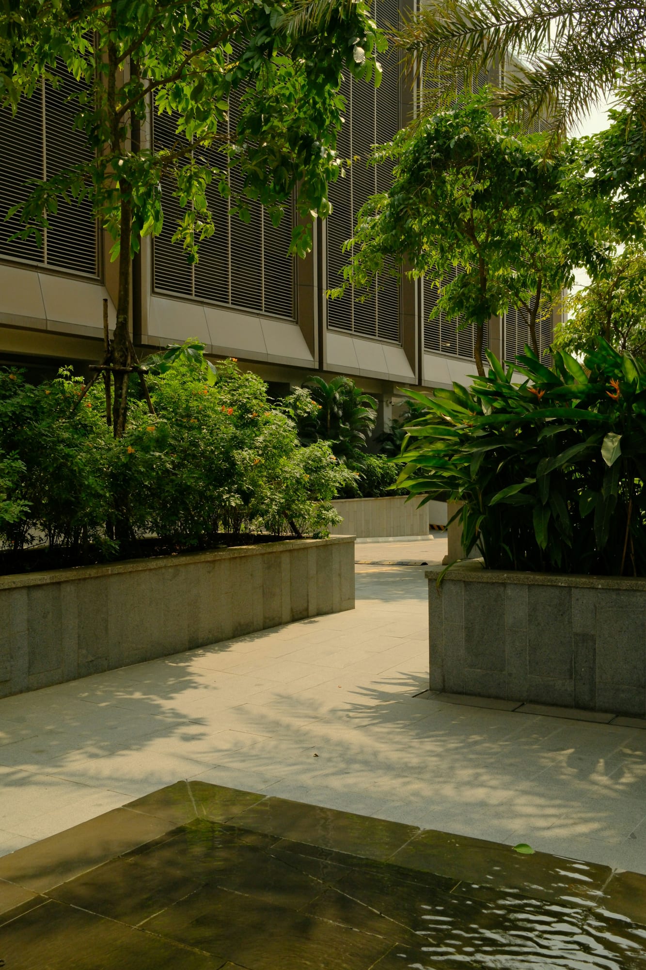
Residential Design-Build Firms
Capture an entire backyard in minutes, then hand the homeowner a photorealistic walkthrough of the proposed install before you've cut a single stone.
Every Terrain, Every Green Space
Answers Before You Book
Bring The K2 To Your Crew
Leave your info and a member of our team will follow up after the show.