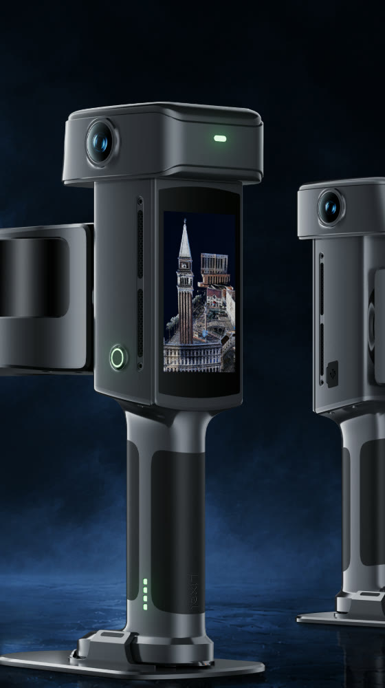
LIXEL L3 PRO
Flagship High-Accuracy Handheld Spatial Scanner
The Lixel L3 Pro is XGRIDS' flagship high-accuracy spatial scanner, holding a verified 5mm relative accuracy and photorealistic color across large, complex sites. A single pass produces a true-color point cloud, a mesh, and a 3D Gaussian Splatting model in one workflow.
KEY FEATURES
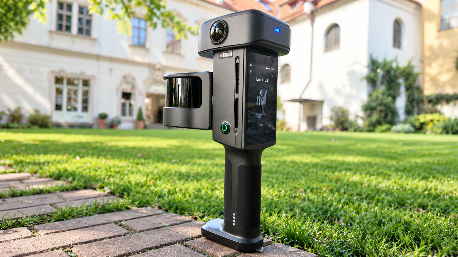
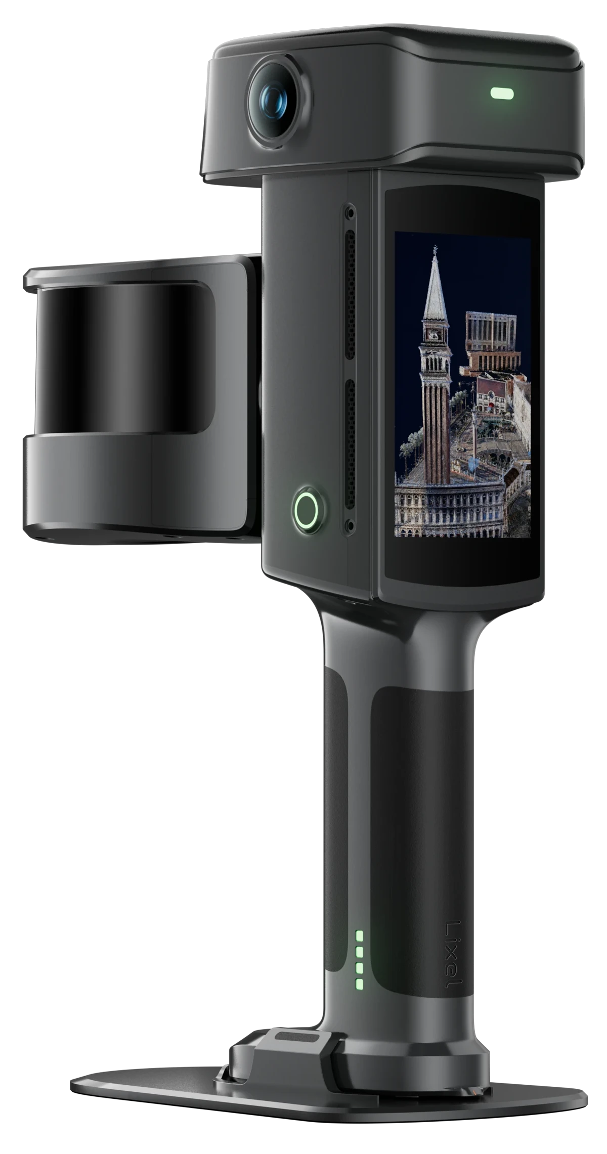
4.3" touchscreen for live preview and on-screen measurement
5mm Relative Accuracy
Verified at P68 = 4.2mm across 7 units and 20 independent scan sets — mobile capture speed with survey-grade results.
Survey-Grade GNSS + RTK
Built-in multi-constellation RTK (BDS, GPS, GLONASS, Galileo, QZSS) fused with LiDAR for 2cm absolute accuracy.
One Scan, Three Deliverables
A single pass outputs a true-color point cloud, a mesh, and a 3D Gaussian Splatting model.
True-Color Photorealism
Dual 200°×200° panoramic cameras at 4096×3072 with DCG HDR hold detail in both highlights and shadows.
4.3" On-Device Display
1,000-nit touchscreen for live model preview and on-screen measurement in the field.
1TB Onboard Storage
Built-in UFS storage with USB 3.1 Gen2 offload — no memory card swaps mid-shift.
LixelStudio & CyberColor
All-in-one point cloud processing plus next-gen SLAM and 3DGS scene production, included.
All-Weather Build
Aluminum alloy housing rated IP54, -20°C to 50°C, for up to 100 minutes of continuous use.
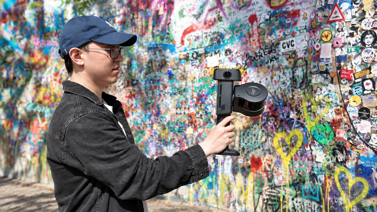
5mm accuracy captured at mobile scanning speed, anywhere
FULL SPECIFICATIONS
ENGINEERED FOR EXCELLENCE
Built around a survey-grade GNSS module with built-in RTK, a 360°×270° LiDAR, and a dual-panoramic 4K HDR camera array, the L3 Pro fuses SLAM localization with satellite positioning for 2cm absolute accuracy and 0.005° leveling. Independent testing across 7 units and 20 scan sets in a 507m² composite indoor site verified a 4.2mm P68 point-pair deviation, beating the 5mm @1σ specification. Deliverables export natively as point cloud, mesh, and 3D Gaussian Splatting through LixelStudio and Lixel CyberColor, fitting directly into surveying and AEC, digital twin, and film and entertainment workflows. Available in 16-channel and 32-channel variants, both housed in an aluminum alloy shell rated IP54 for -20°C to 50°C field use.
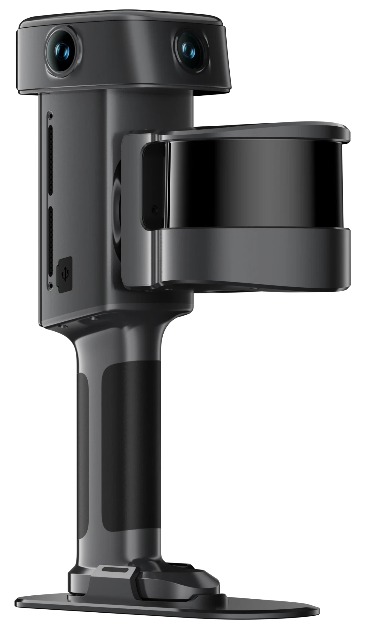
FRONT
REAR
SAMPLE DATA
Full-resolution sample captures from the Lixel L3 Pro. Datasets are hosted on Google Drive and open in a new tab.
Sample Dataset: Urban Streetscape
Full-resolution point cloud (.las) captured with the Lixel L3 Pro.
LAS · 2.74 GB · Google DriveSample Dataset: Urban Graffiti Corner
LCC2 scene with 3D Gaussian Splatting and mesh outputs.
LCC2 · 75.7 MB · Google DriveSample Dataset: Flower Shop Kiosk
LCC2 scene with 3D Gaussian Splatting and mesh outputs.
LCC2 · 66.5 MB · Google Drive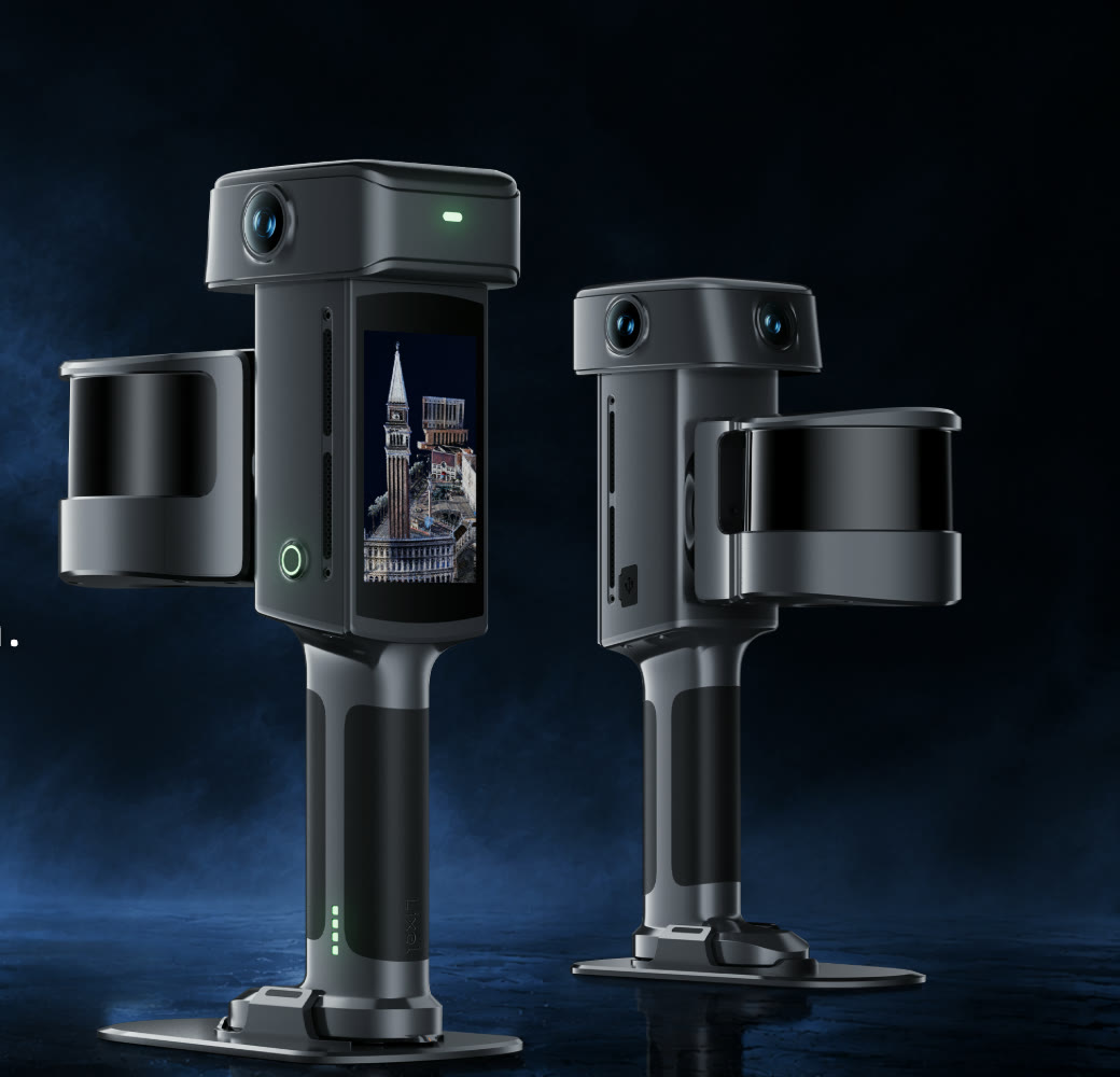
READY TO ELEVATE YOUR WORKFLOW?
Contact our team to discuss your specific requirements and get a personalized quote.